Engineering
The DWB engineering department specializes in transportation and civil projects, including road and highway design, stream crossing design (bridges and culverts), hydrotechnical studies and river engineering, as well as steel and concrete building design. Related services include topographic ground and UAV (drone) surveys, hydrographic/bathymetry surveys, materials testing, traffic management planning, quality plan development, bridge inspections and structural and load rating analysis. Also, to plan for an unknown future, climate change integration using accepted provincial guidelines is key to our hydrotechnical assessments and related designs.
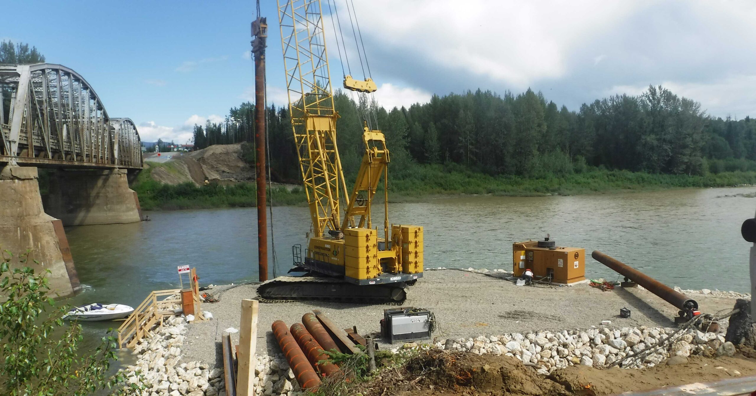
DWB provides services for all project phases from feasibility studies, planning and preliminary engineering through to detailed design, tender document and specification development, and through to contract administration, construction supervision, and operational-phase inspections and certification. Inter-disciplinary cooperation with DWB environmental and forestry divisions ensures effective, comprehensive project delivery. DWB is a proud recipient of several Deputy Minister Awards in recognition of our work on Ministry of Transportation and Infrastructure projects in BC, including the Willow River Bridge northeast of Prince George, Nautley Bridge near Fraser Lake, and Emergency Works on Highway 37A east of Stewart.
- Engineered road geometric design & layout
- Hydrotechnical studies
- River engineering
- Flood Investigation
- Flood Response
- Floodplain mapping
- Bridge & culvert design
- Bank stabilization & erosion protection design
- Stream rehabilitation design
- Bridge inspection, certification & site investigation
- Industrial buildings – steel & concrete
- Retaining wall structures
- Structural & load rating analysis Footing & foundation design
- Small hydroelectric power development
- Traffic Management Plans
- Quality Management Plans
- Contract administration
- Construction supervision
- Soils (material testing, compaction, sieve tests, proctor tests)
- Survey using Total Station, Robotic, RTK, GPS+DGPS, hydrographic sonar, and aerial drone (UAV) for land, volumes, terrain, road, stream & hydrographic surveys
- Design and drafting using AutoCAD, Civil 3D, CAICE
- GIS analysis & mapping